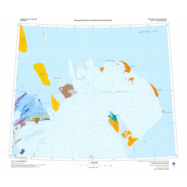
Topographic map of Greenland, 1:250 000, 81 Ø.1 Flade Isblink.
Coloured maps at 1:250 000 with contour interval 100 m.
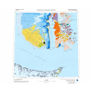
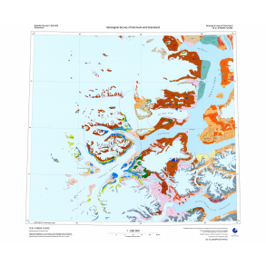
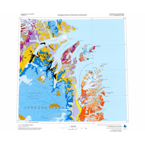
A set of 53 digital maps covers North and North-East Greenland from lnglefield Land in the west to Scoresby Sund in the east. One additional sheet provides an index map and a legend.
The maps show the usual range of physiographic features, viz. coasts, rivers, lakes and ice. They are coloured with a 100 m contour interval over both land and ice, and with selected spot heights in metres. They have been drawn at the Survey from air photographs using Kort & Matrikelstyrelsen (KMS) ground control points and aerotriangulation. Map projection is Universal Transverse Mercator, zone 24.
The maps are a sequel to a set of geological sheets at the same scale but with four extra sheets covering lnglefield Land and Humboldt Gletscher.