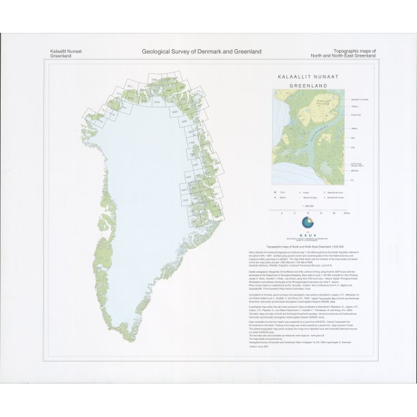
Topographic maps of North and North-East Greenland 1:250 000
Data collected from aerial photographs at nomimal scale 1:150 000 by the Danish Geodetic Institute in the period 1978 - 1987; rectified using ground control and aerotriangulation from the National Survey and Cadastre (KMS) (permission A.200/87). The map sheet extent and the numbers of the map sheets are based on the two map series at scale 1:250 000 and 1:100 000 of KMS.
Geodetic reference: WGS84, Projection: Universal Transverse Mercator, zone 24 N.